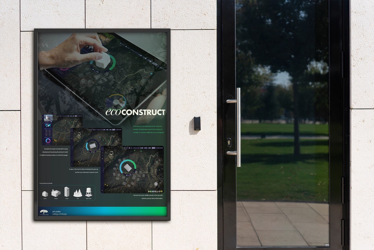
“Bridging Urban Development and Conservation Through Interaction”
A tangible interaction and data visualization project that simulates urban impact on wildlife, allowing users to explore changes and test restoration strategies.

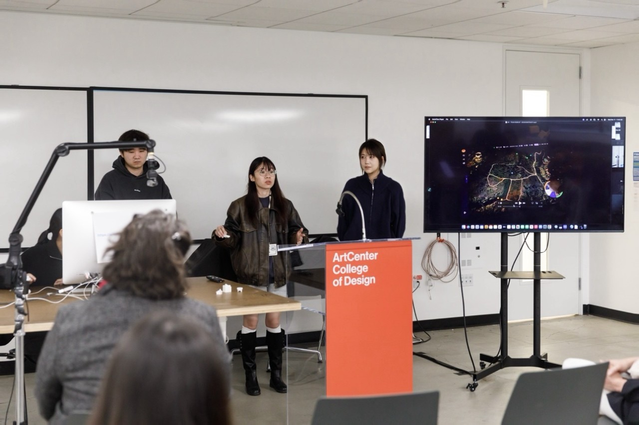
Showcase
Problem
Wildlife habitats are shrinking due to rapid urbanization, and increasing human-wildlife conflicts.
Light & Noise Pollution – Disrupts animal behavior and breeding.
Solution
An interactive tangible & digital tool to explore urbanization’s effects and test restoration strategies.
Key feature
Tangible Interaction
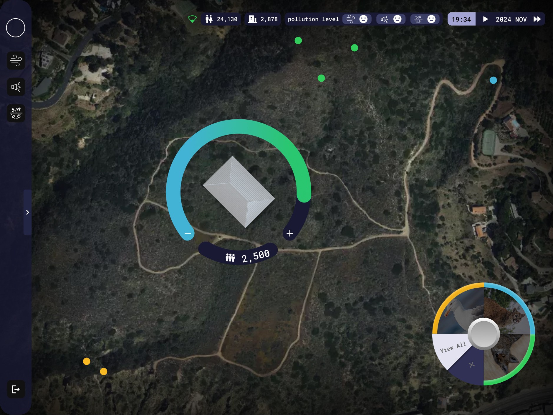
Use 3D models to simulate urban impact and explore ecological changes

Why Tangible Objects?
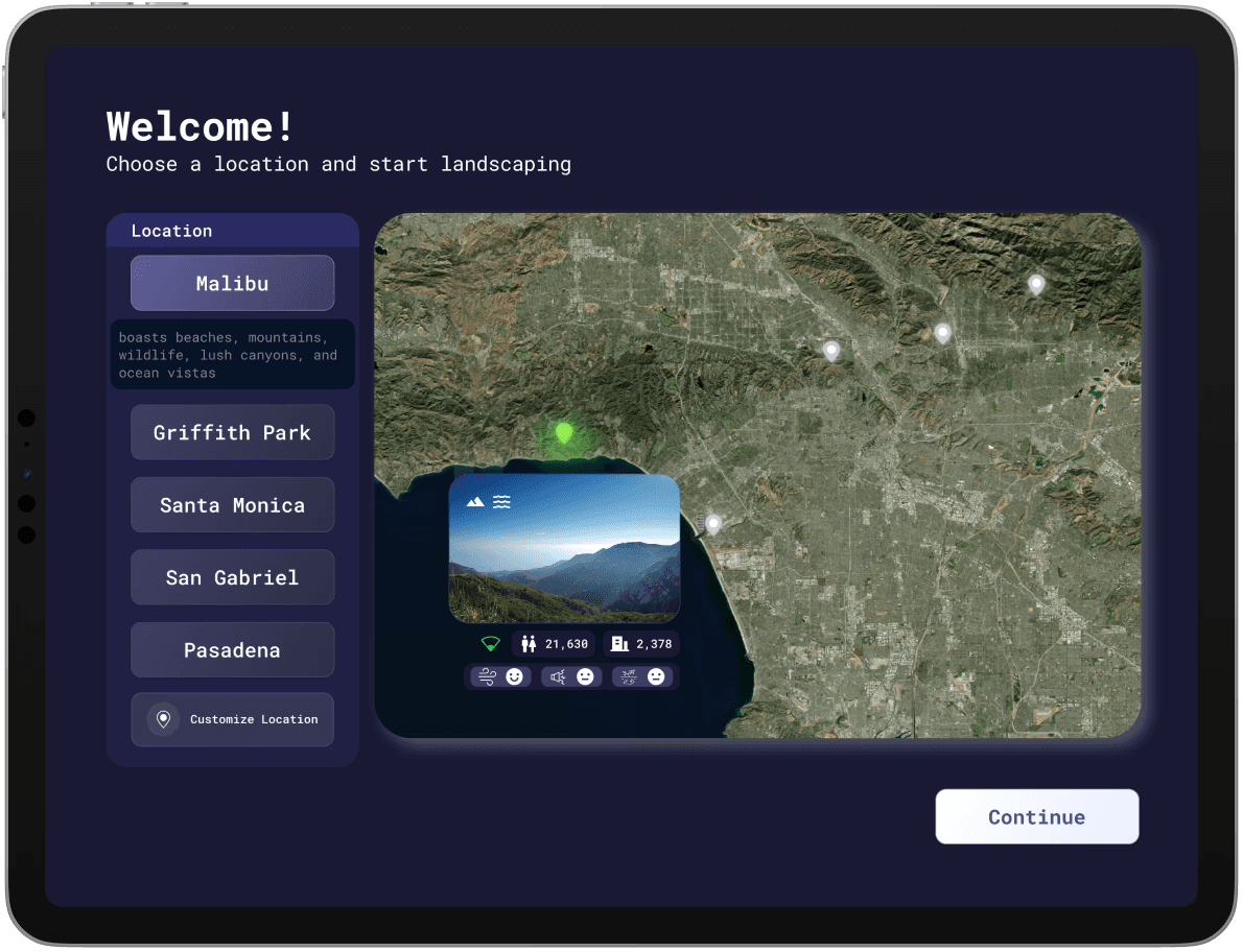
Main Audience
Urban Planning Students
The use of tangible models helps urban planning students intuitively explore the ecological impact of their designs, offering a more spatial, hands-on experience than a screen-based tool.
Customize Your Exploration
Restoration
Simulate air pollution by placing a factory and observing changes in productivity and wind direction. See how it impacts animal movement and habitat.
Data Visualization
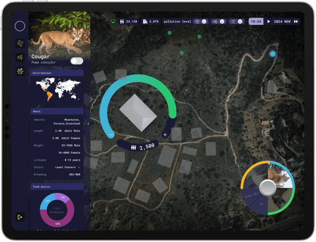

Research Insights
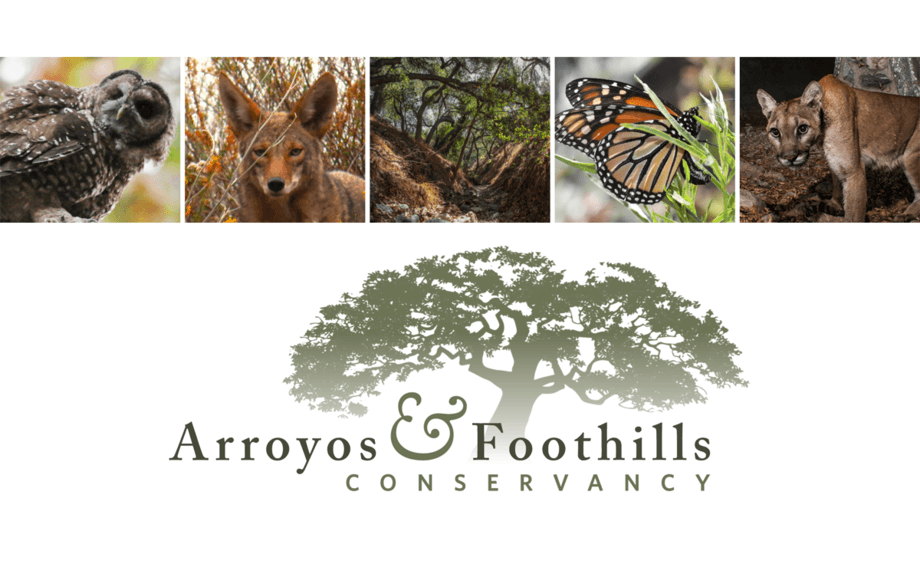
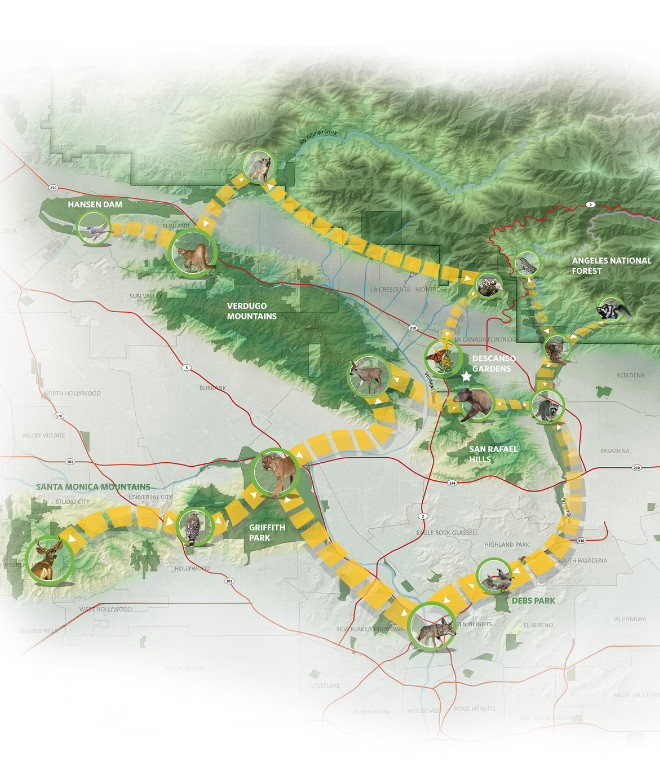
Our Client Arroyos & Foothills Conservancy (AFC) is a conservancy NGO dedicated to preserving and restoring natural habitats in Los Angeles.
Understanding urbanization’s impact on wildlife requires real data. This dataset maps monitoring sites in LA, revealing species distribution, movement, and habitat disruptions.
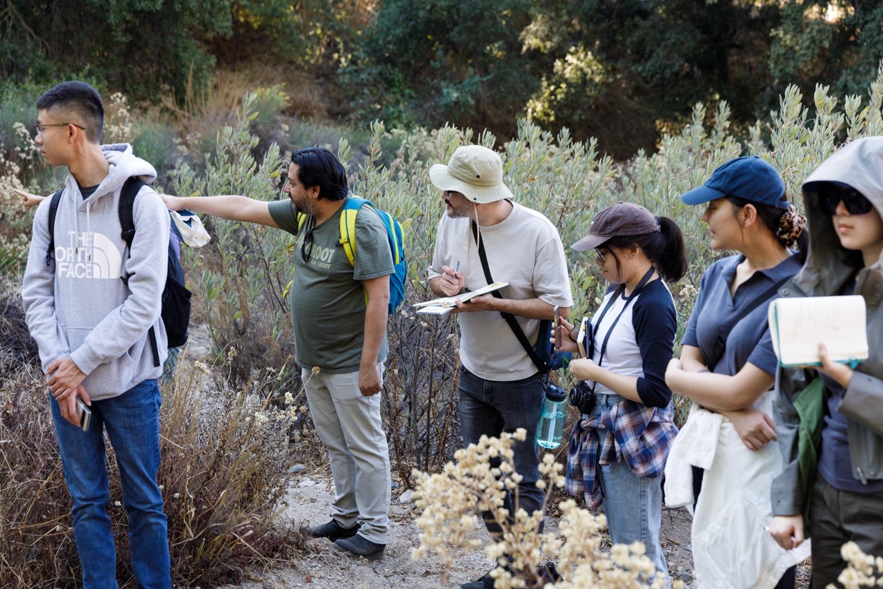
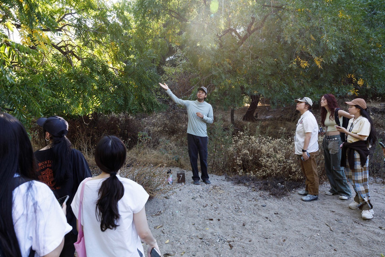
We visited the site to observe challenges, understand reservation issues, and identify AFC’s needs.

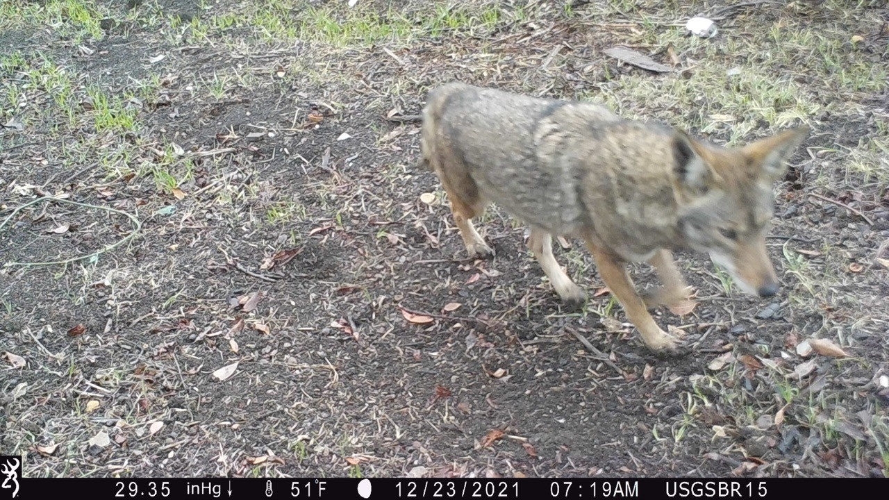
Camera trap images from Los Angeles natural reserves capture wildlife activity, showing species behavior and the impact of urbanization on local ecosystems.